The Marine Distance Tables
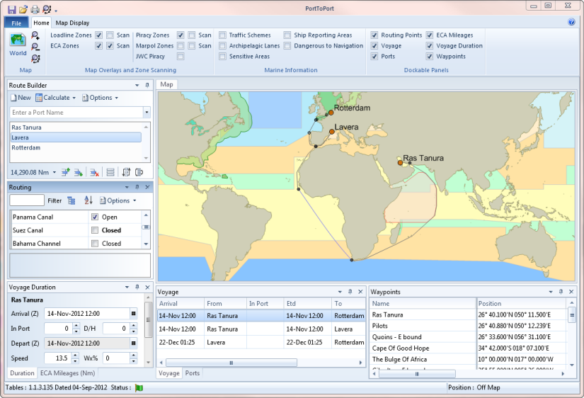
The AtoBviaC Marine Distance Tables are based on distance tables that have been used by the shipping industry for over 50 years and have been adopted by the industry as a standard reference.
The distances in the tables have been calculated using routes which have been plotted by experienced Master Mariners and updated by Marine Navigators using recognised industry voyage planning methods. The routes are not generated by a computer algorithm. The Tables cover over 3,800 of the world's most frequently visited ports. This number continues to increase as further ports, terminals and berths are commissioned.
A unique combination of seafaring experience and systems expertise has been used in the development of these tables. State of the art technology is used in their construction, delivery and continual updating.
Read more about the History of the Distance Tables